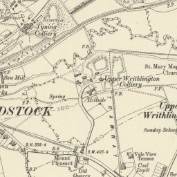
While researching local history for this section, we found a link to an interesting Ordnance Survey map of Radstock and surrounding areas (dated from the late nineteenth to early twentieth century), on ARCHI UK
It is possible to ‘zoom in’ and move the map around in order to see the railways, coal mines, housing settlements as they once were.
We felt it was too good not to share with you!